CSEC Geography Paper 3 May/June 2006 - Free CXC Past Paper with Answers
Free CXC Geography Paper 3 May/June 2006 past paper from 2006. Includes a worked answer key. Open the PDF, take a timed test, and study with AI on Caribbean AI.
Answer keys are free on Caribbean AI. View the answers to every past-paper question at no cost - no payment needed - with step-by-step worked solutions and instant AI marking available on Premium.
- All CSEC Past Papers
- CSEC Geography Past Papers
- CSEC Geography Paper 3 May/June 2015
- CSEC Geography Paper 3 May/June 2014
- CSEC Geography Paper 3 May/June 2013
- CSEC Geography Paper 3 May/June 2012
- CSEC Geography Paper 3 May/June 2011
- CSEC Geography Paper 3 May/June 2010
- CSEC Geography Paper 3 May/June 2009
- CSEC Geography Paper 3 May/June 2008
- CSEC Geography Paper 3 May/June 2007
- CSEC Geography Paper 3 May/June 2005
CSEC Geography Paper 3 May/June 2006 - Free CXC Past Paper with Answers
Free CXC Geography Paper 3 May/June 2006 past paper from 2006. Includes a worked answer key. Open the PDF, take a timed test, and study with AI on Caribbean AI.
Opening the interactive papers…
- All CSEC Past Papers
- CSEC Geography Past Papers
- CSEC Geography Paper 3 May/June 2015
- CSEC Geography Paper 3 May/June 2014
- CSEC Geography Paper 3 May/June 2013
- CSEC Geography Paper 3 May/June 2012
- CSEC Geography Paper 3 May/June 2011
- CSEC Geography Paper 3 May/June 2010
- CSEC Geography Paper 3 May/June 2009
- CSEC Geography Paper 3 May/June 2008
- CSEC Geography Paper 3 May/June 2007
- CSEC Geography Paper 3 May/June 2005
CSEC Geography Paper 3 May/June 2006 Questions
Every question from this paper as text. See the answers and worked solutions. Questions are the property of the Caribbean Examinations Council; Caribbean AI is not affiliated with CXC.
Question 1 (6 marks)
A map of Nevis on a scale of 1:25 000 is provided as an insert for this question.
Imagine that you are studying the changes in settlement along the road from Scarborough to Camps in the parish of St James Windward in the north of Nevis.
In the frame of Figure 1 (a), draw TWO sketch maps as indicated below.
- make a sketch of Nevis
- show the position of the study area in relation to the entire island of Nevis.
Figure 1 (a), Sketch map showing the position of the study area in Nevis
[2 marks]
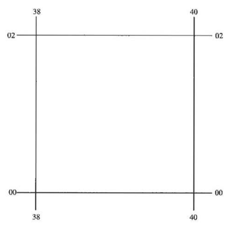
In the frame of Figure 1 (b), draw a sketch map to show the LOCATION of the study area and the position of the buildings along the secondary road from Scarborough to Camps. Use the same scale as on the map provided. The eastings and northing references have been placed at the corners of the frames.
Figure 1 (b), Sketch showing the location of the study area in Nevis
[4 marks]