CSEC Geography Paper 3 May/June 2015 - Free CXC Past Paper with Answers
Free CXC Geography Paper 3 May/June 2015 past paper from 2015. Includes a worked answer key. Open the PDF, take a timed test, and study with AI on Caribbean AI.
Answer keys are free on Caribbean AI. View the answers to every past-paper question at no cost - no payment needed - with step-by-step worked solutions and instant AI marking available on Premium.
- All CSEC Past Papers
- CSEC Geography Past Papers
- CSEC Geography Paper 3 May/June 2014
- CSEC Geography Paper 3 May/June 2013
- CSEC Geography Paper 3 May/June 2012
- CSEC Geography Paper 3 May/June 2011
- CSEC Geography Paper 3 May/June 2010
- CSEC Geography Paper 3 May/June 2009
- CSEC Geography Paper 3 May/June 2008
- CSEC Geography Paper 3 May/June 2007
- CSEC Geography Paper 3 May/June 2006
- CSEC Geography Paper 3 May/June 2005
CSEC Geography Paper 3 May/June 2015 - Free CXC Past Paper with Answers
Free CXC Geography Paper 3 May/June 2015 past paper from 2015. Includes a worked answer key. Open the PDF, take a timed test, and study with AI on Caribbean AI.
Opening the interactive papers…
- All CSEC Past Papers
- CSEC Geography Past Papers
- CSEC Geography Paper 3 May/June 2014
- CSEC Geography Paper 3 May/June 2013
- CSEC Geography Paper 3 May/June 2012
- CSEC Geography Paper 3 May/June 2011
- CSEC Geography Paper 3 May/June 2010
- CSEC Geography Paper 3 May/June 2009
- CSEC Geography Paper 3 May/June 2008
- CSEC Geography Paper 3 May/June 2007
- CSEC Geography Paper 3 May/June 2006
- CSEC Geography Paper 3 May/June 2005
CSEC Geography Paper 3 May/June 2015 Questions
Every question from this paper as text. See the answers and worked solutions. Questions are the property of the Caribbean Examinations Council; Caribbean AI is not affiliated with CXC.
Question 1 (4 marks)
A map of Moneague, Jamaica (scale 1:50 000), is provided as an insert for this question.
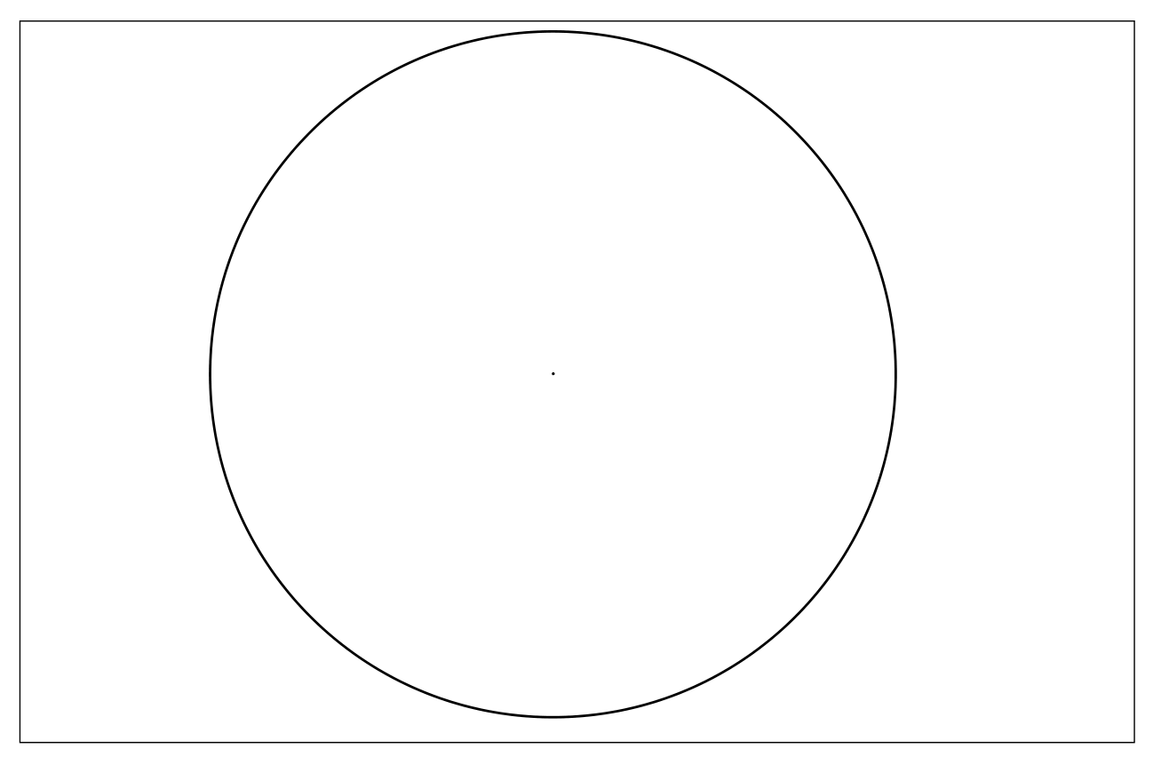
Figure 1 presents a grid of the Moneague area of the map bordered by Eastings 36 and 40 and Northings 78 and 82. The grid is on the same scale as the map. The main Class A road has been inserted.
Using the key on the map provided, complete Figure 1 by (a) adding the Class B road to Grierfield (b) inserting ONE built-up area (c) drawing the area of swamp (d) inserting ONE point of interest.
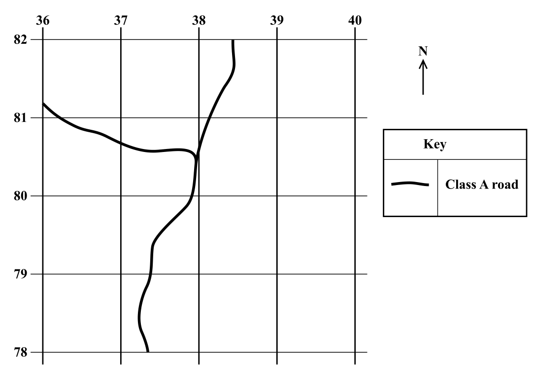
[4 marks]
Question 2 (2 marks)
Imagine you are doing research on the factors influencing the main types of land use in the Moneague area. Write a research question or statement that would guide the collection of data in the field.
[2 marks]
Question 3 (14 marks)
You are investigating the factors influencing land use in the Moneague area.
[12 marks]
List TWO examples of EACH of the following items that will assist you in carrying out the research.