CSEC Geography Paper 3 May/June 2009 - Free CXC Past Paper with Answers
Free CXC Geography Paper 3 May/June 2009 past paper from 2009. Includes a worked answer key. Open the PDF, take a timed test, and study with AI on Caribbean AI.
Answer keys are free on Caribbean AI. View the answers to every past-paper question at no cost - no payment needed - with step-by-step worked solutions and instant AI marking available on Premium.
- All CSEC Past Papers
- CSEC Geography Past Papers
- CSEC Geography Paper 3 May/June 2015
- CSEC Geography Paper 3 May/June 2014
- CSEC Geography Paper 3 May/June 2013
- CSEC Geography Paper 3 May/June 2012
- CSEC Geography Paper 3 May/June 2011
- CSEC Geography Paper 3 May/June 2010
- CSEC Geography Paper 3 May/June 2008
- CSEC Geography Paper 3 May/June 2007
- CSEC Geography Paper 3 May/June 2006
- CSEC Geography Paper 3 May/June 2005
CSEC Geography Paper 3 May/June 2009 - Free CXC Past Paper with Answers
Free CXC Geography Paper 3 May/June 2009 past paper from 2009. Includes a worked answer key. Open the PDF, take a timed test, and study with AI on Caribbean AI.
Opening the interactive papers…
- All CSEC Past Papers
- CSEC Geography Past Papers
- CSEC Geography Paper 3 May/June 2015
- CSEC Geography Paper 3 May/June 2014
- CSEC Geography Paper 3 May/June 2013
- CSEC Geography Paper 3 May/June 2012
- CSEC Geography Paper 3 May/June 2011
- CSEC Geography Paper 3 May/June 2010
- CSEC Geography Paper 3 May/June 2008
- CSEC Geography Paper 3 May/June 2007
- CSEC Geography Paper 3 May/June 2006
- CSEC Geography Paper 3 May/June 2005
CSEC Geography Paper 3 May/June 2009 Questions
Every question from this paper as text. See the answers and worked solutions. Questions are the property of the Caribbean Examinations Council; Caribbean AI is not affiliated with CXC.
Question 1 (4 marks)
A map of Port of Spain on a scale of 1:25 000 is provided as an insert for use in this question.
Imagine that you are studying the changes in land use west of Cantaro in the Santa Cruz River valley.
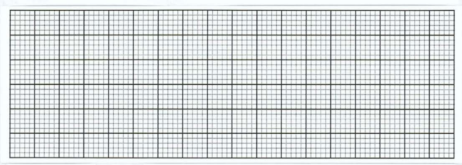
In the frame of Figure 1 and using the map provided, draw a sketch map of the study area to show the following features: (a) Cantaro village (b) The 500 foot contour line (Label the land over 500 feet.) (c) The areas of cultivation (d) The unnamed streams (e) Saddle Road
Note that the scale of the frame is 1:50 000.
The four-figure grid references have been placed at the corners of the frame.
Figure 1. Study Area - Valley west of Cantaro
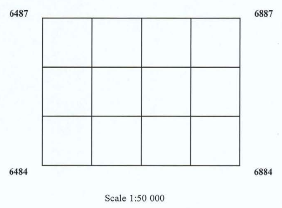
[4 marks]
Question 2 (2 marks)
You want to study the discharge of a small tributary stream at different points along its length. Frame a research question or hypothesis to guide the field research.
[2 marks]
Question 3 (14 marks)
For the project in Question 2, describe THREE features about which you will collect data to determine the discharge.